Albuquerque to Las Vegas Road Trip Itinerary
Your Albuquerque to Las Vegas road trip will take you through some of the most stunning sections of the American Southwest!
You’ll visit multiple National Parks Service sites, including several national monuments and a national park. You’ll have the option to add on a section national park if you’d like to extend your trip.
You’ll also find rolling desert landscapes, quaint towns along historic Route 66, and easy hikes for the entire family.
Below, I’ve shared my family’s favorite stops between Albuquerque and Las Vegas, including places to stay, our go-to campgrounds, where to eat, and other tips to help your road trip go smoothly.
I’ve also included several places where you can add on a side trip for even more fun in this part of the United States.
So, what are you waiting for? Let’s hit the road!

Route 66 near Peach Springs, Arizona
This post contains affiliates. If you purchase through the links below, I will receive a commission at no charge to you.
What to Expect when Visiting New Mexico, Arizona, and Nevada
1) Watch your weather.
Since you’re in the desert for the entirety of this road trip, you’ll want to ensure that you are ready for weather.
In the summers, temperatures can easily soar over 90 degrees (and often much higher). Yes, it’s a dry heat, but you can still get dehydrated very quickly. Pack more water than you think you’ll need—and then add a bit more.
While the winters aren’t particularly harsh, and you won’t see substantial snow, you will face cool days and cold nights while in the desert.
If you’re camping at any point in the year, plan ways to stay warm in the evenings and night as the temperatures drop by 15-20 degrees once the sun goes down.
2) Dress for success.
Stay covered on the trails as you won’t have any natural cover. This means you’ll need a long sleeved sun shirt, hat, and plenty of sunscreen.
You’ll want to do so even in the winter months as you can still get burned, both by the sun and wind, when it’s chilly outside.
Layers are key in the desert. You’ll want to be able to regulate your body temperature in response to the constantly changing temperatures.
For more information on my favorite hiking clothes, check out these articles:
3) Go remote.
PIN ME!
Much of this road trip itinerary follows I-40, which is a major interstate through the Southwest.
Even though you’ll have plenty of company on the road, there are several stretches where you won’t have easy access to any gas, snacks, or water.
Unlike on the Denver to Grand Canyon road trip itinerary, you won’t find road signs telling you the number of miles to the next set of facilities.
Stay ahead of your gas tank, and stop whenever you’re near one of the often infrequent exits.
When you get off of I-40, you’ll be following the original Route 66 for much of the way to Las Vegas. While there are small towns on this stretch, they, too, are miles apart, and not all have gas stations.
Albuquerque, NM, to Las Vegas, NV, Road Trip Itinerary
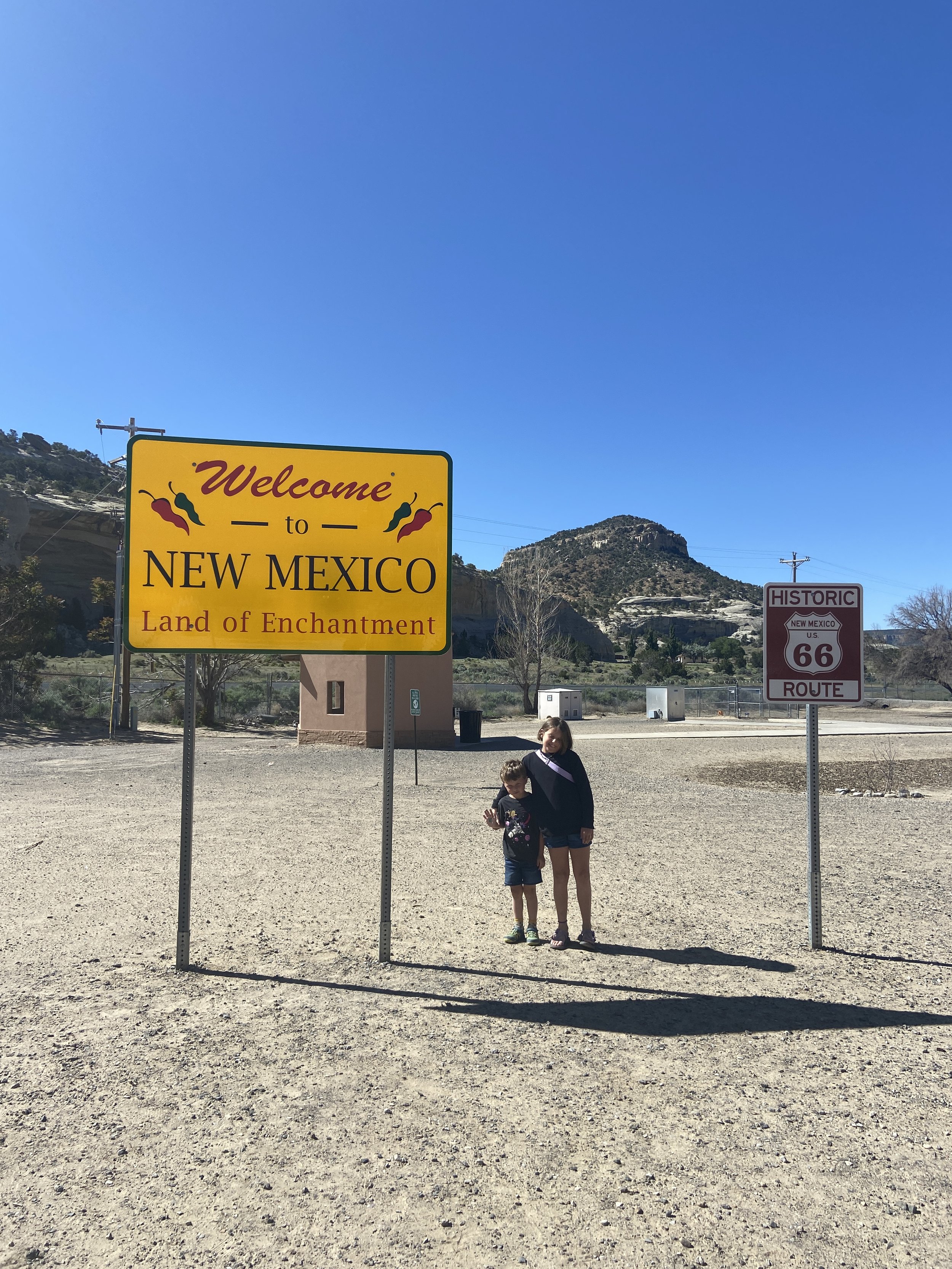
The Camping Kiddos at the New Mexico-Arizona border
For the purposes of this itinerary, we’re moving west from Albuquerque, but you could just as easily do this road trip in reverse from Las Vegas to Albuquerque.
Regardless of which direction you’re planning to do this trip, you’ll want to tack on at least a day on either end to explore Albuquerque and Las Vegas, which I haven’t focused on here.
Another thing to note is that I’ve organized the following places as individual stops rather than as a day-by-day itinerary.
Going about the road trip itinerary this way means that you have more flexibility in making it your own. Plus, many of these sites are fairly close together, so you can choose how quickly you’d like to move through them.
That being said, you could easily do this road trip in 3-5 days without any of the suggested side trips.
Or, you could linger at each stop, fully exploring them, and completing the side trips for a road trip that lasted 1-2 weeks (or more, depending on how long you want at each place!).
There’s really no wrong way to go about this road trip.
I’ve included drive times between each stop to help you better organize your own version, as well as suggested areas to hike, eat, and/or camp.
Stop 1: Grants, New Mexico
As you set out from Albuquerque, the landscape outside of your car will be filled with rolling red deserts, sagebrush, and craggy cliffs.
However, as you approach Grants, New Mexico, that landscape begins to resemble the surface of the moon.
Huge chunks of a matte black substance push their way past the grass on either side of the road, and you might be left wondering if an asphalt truck blew up on this section of the highway.
But the answer is one that’s far more exciting than a malfunctioning piece of road machinery.
You’re seeing the results of volcanic activity that reshaped this part of western New Mexico between 700,000 and just 3,900 years ago.
You can explore more of this incredible natural wonder at the 2 main sites near Grants, New Mexico.
El Malpais National Monument
This NPS sites allows you to hike through and learn about the lava flows.
You’ll see how the unique geological formations here provided shelter to generations of Native Americans, particularly the Zuni and Acoma tribes, as well as Spanish explorers, the Navajo nation, and pioneers.
There are a variety of surface trails that allow you to access the different lava flow areas. More adventurous visitors can take a self-guided tour into one of the many lava tubes, but you’ll want to bring the appropriate safety gear.
The national monument is open year round, although some of the caves are off limits to the public during the winter to protect resident bats.
Ice Cave and Bandera Volcano
A privately owned site, the Ice Cave and Bandera Volcano is another great way to explore this fascinating landscape.
It’s not as large as the nearby NPS site, but it’s still worth a visit.
Included in the admission cost is a museum filled with Native American artifacts and 2 self-guided hikes. The Ice Cave stays chilly year round with naturally occurring sheets of ice on the walls.
It does close in the winter from November 1-March 1.
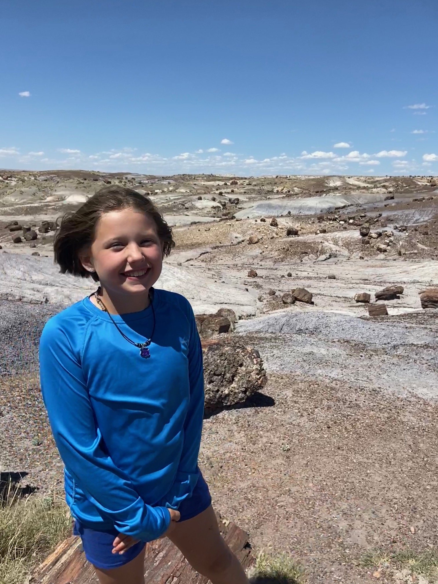
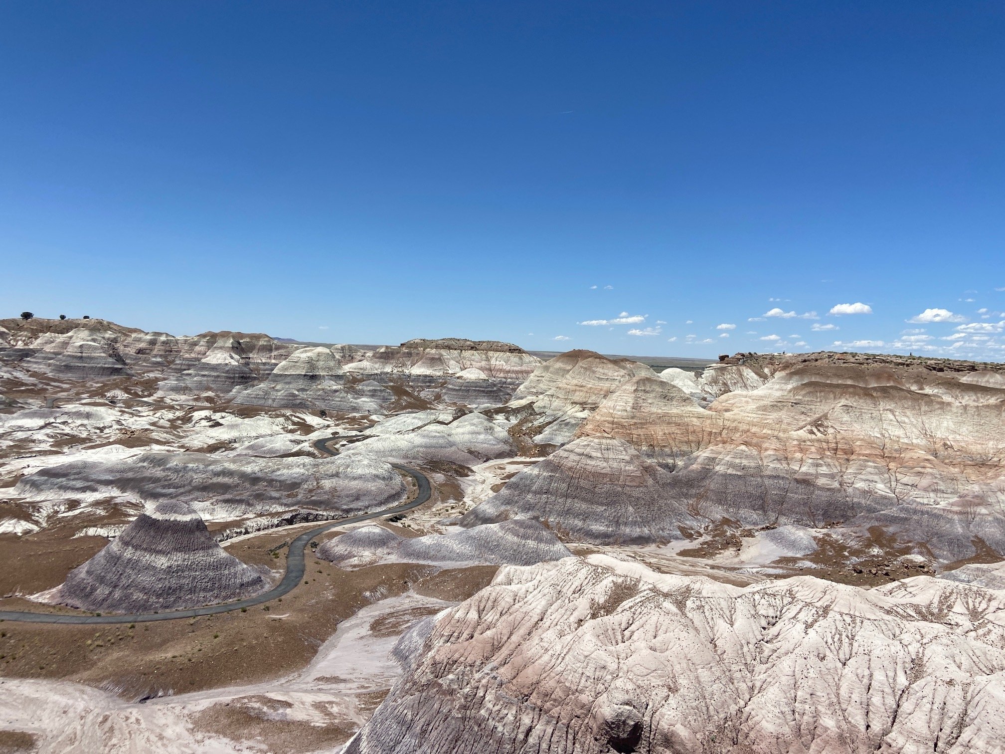
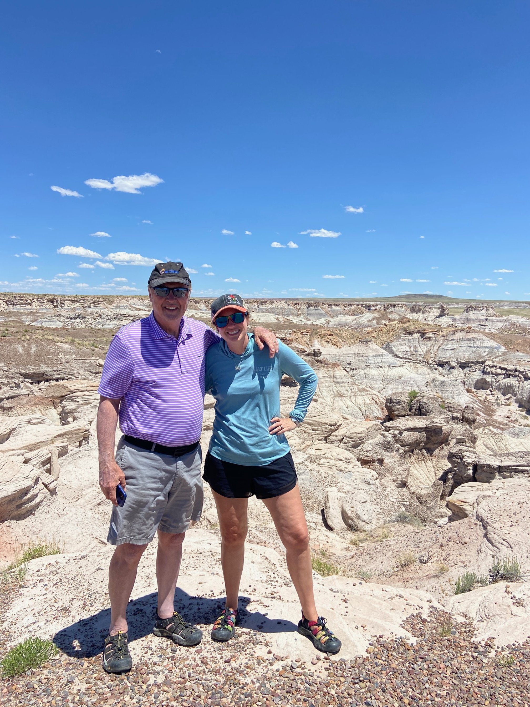
Stop 2: Petrified Forest National Park
The next major stop on I-40 West is going to be the exit for the Painted Desert Visitors Center at Petrified Forest National Park.
At the visitors center, you can grab a map of the park, pick up a souvenir, watch the park’s history movie, or have a picnic.
There’s also a gas station here. It’s really expensive, but convenient. There’s no other gas at this exit or anywhere in the park for another 25-30 miles.
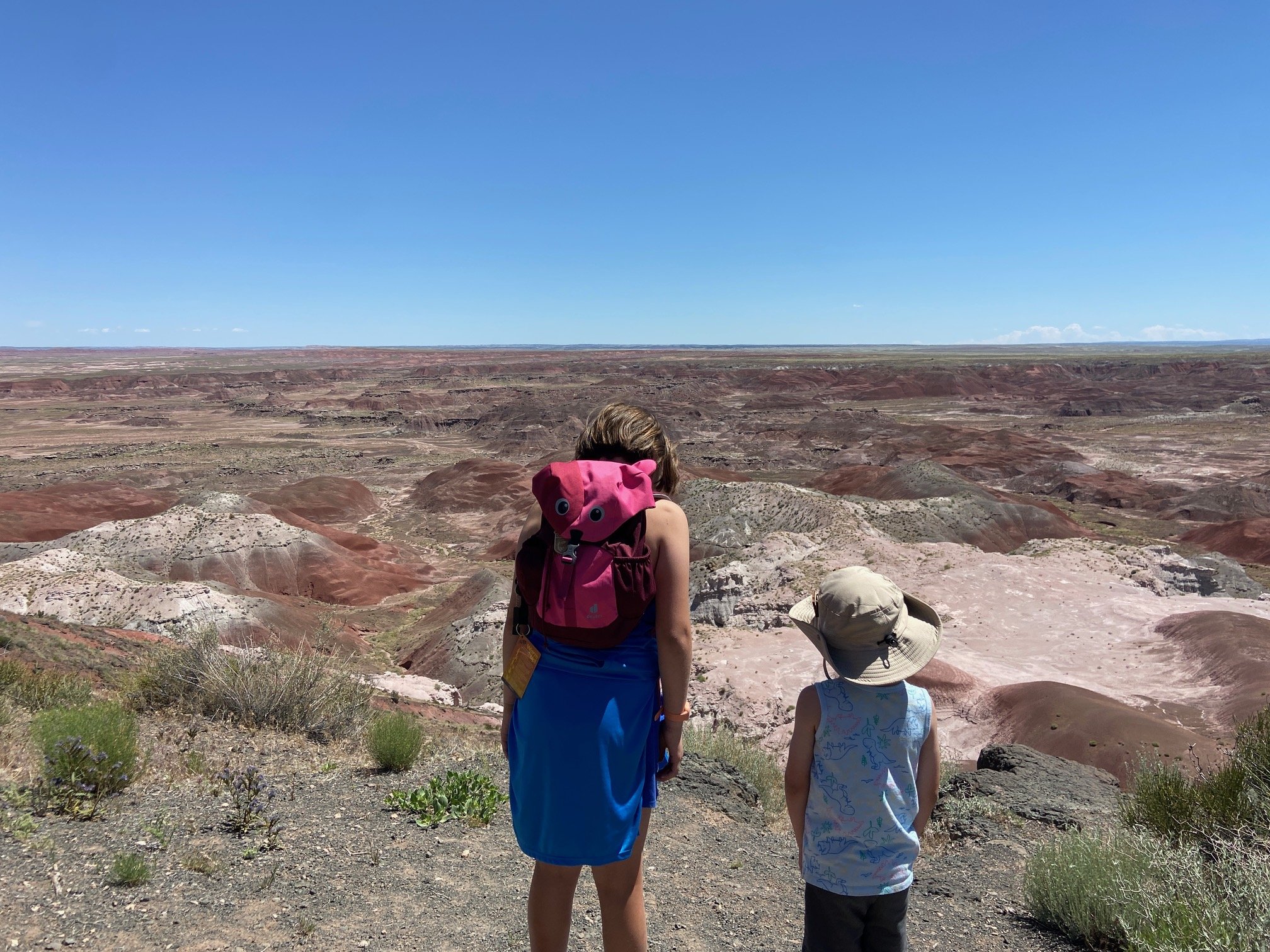
Once you’re in the park, you’ll be able to see the southern end of the Painted Desert, which has red, orange, grey, blue, purple, and yellow layers in the worn away rock.
On the end of the park closest to Holbrook, you’ll be able to see fields of petrified trees from the forest that once stood here more than 250 million years ago.
More posts to help you with your time at Petrified Forest National Forest:
Stop 3: Holbrook, AZ
Although I-40 parallels—and in some places, directly overlays—historic Route 66, Holbrook, Arizona is the first place on this road trip where you can drive or walk along the actual Route 66.
Holbrook isn’t the most exciting place along this stretch of Route 66 (I think Winslow, below, is a much better stop), but it does have a few items to see beyond the handful of large gas stations next to I-40.
The Wigwam Motel in downtown Holbrook was the inspiration for the Cozy Cone Motel in Cars, and it is only 1 of 3 remaining concrete teepee-style motels from the once popular chain.
While we haven’t stayed at the one in Holbrook, we did stay at the sister site, the historic Wigwam Village in Cave City, Kentucky.
Holbrook also has a couple of shops that sell petrified wood and other minerals. It’s illegal to take wood from the national park, so this is a good alternative if you’d like a souvenir.
We used Holbrook as a base for this entire area during our last visit to Arizona. The Holbrook KOA is an excellent choice for families with plenty of amenities and easy on-off from I-40.
>> Full review here: Holbrook, AZ, KOA: Best Camping near Petrified Forest National Park. <<
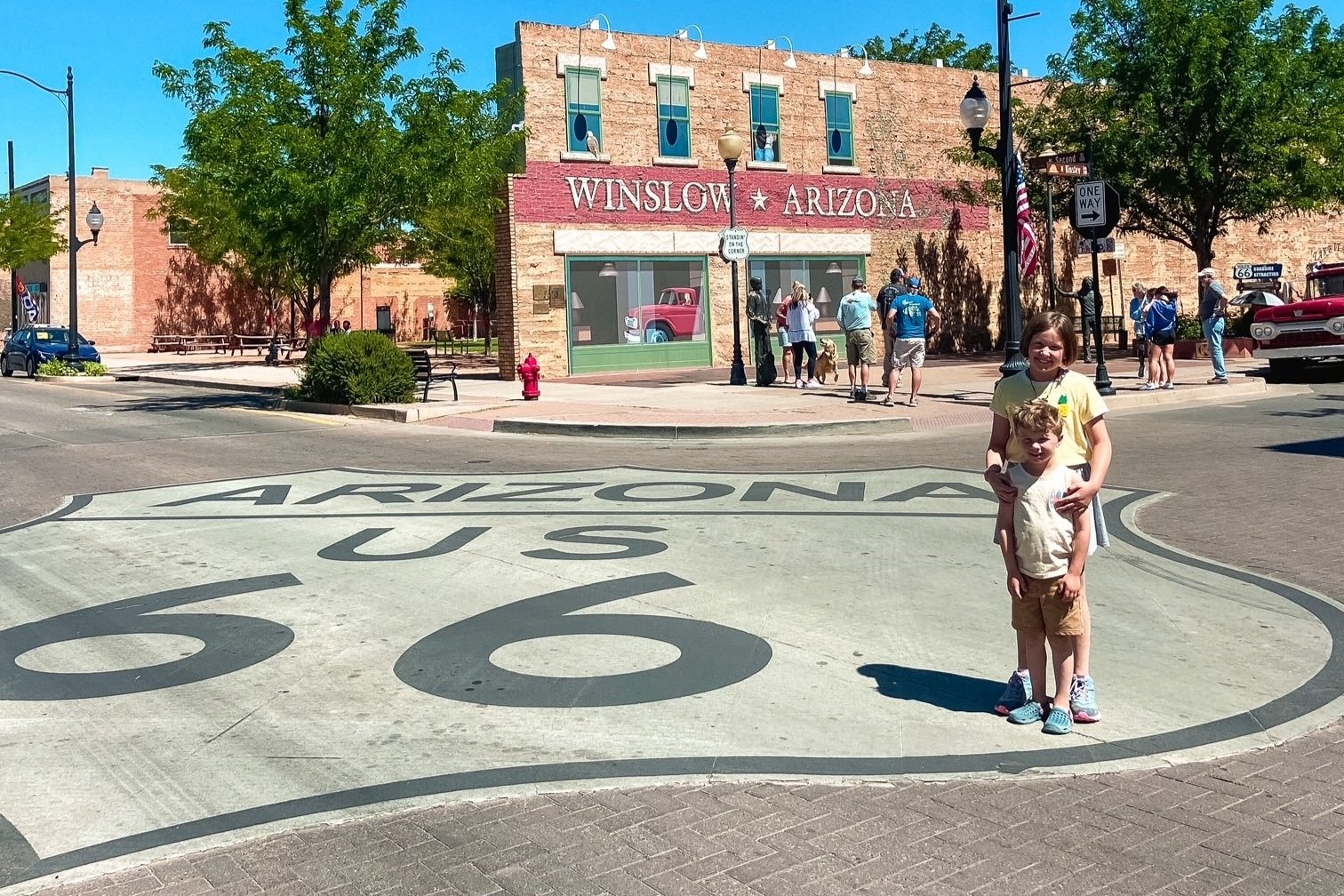
Stop 4: Winslow, AZ
In the heart of Winslow, Arizona
Less than 30 minutes west of Holbrook is the quaint town of Winslow, AZ.
Also located on Route 66, Winslow has several reasons why you’d want to visit: a fascinating history, a cute downtown area, and a tie-in to classic rock.
Downtown Winslow, Arizona
For fans of ‘70s rock, you won’t want to miss Standin’ on a Corner Park in the heart of downtown Winslow, Arizona.
This little town was immortalized in the second verse of The Eagles’ 1972 hit, “Take It Easy.” Winslow is noted in the song and was inspired by a road trip that the members took as they were trying to finish their debut album.
Fifty years later, people still visit by the bus load to take their picture with the iconic flatbed Ford and the massive Route 66 sign at the park.
Discover what else you can do in this adorable town in my complete guide to Winslow, Arizona, on historic Route 66.
Homolovi Ruins State Park

Our daughter on the Homolovi II trail
About 5 miles to the north of Winslow is another great place to visit: Homolovi Ruins State Park.
Here, you can learn about 2 archeological sites that focus on different native people who called this area home from roughly 1000-1400 CE.
Of the 2, we found that the Homolovi II hike had more to see for our kids, but both are worth a visit if you’re into history.
You can also take a short hike to the Mormon pioneer graveyard behind the visitors center, which is the only remaining part of the small village that existed here in the late 1880s.
Keep an eye out for the park’s many wild burros, which are often found on the rugged hills along the main road.
Stop 5: Meteor Crater
If you’ve ever wanted to feel small, Meteor Crater is an excellent place to do so.
Created by a meteor about 50,000 years ago, this massive site is so much more than just a big hole in the ground.

Our daughter next to Meteor Crater and the Visitors Center
Of course, the crater itself is a highlight—and you must make time for the 45-minute tour of the crater rim (included in the cost of admission).
You can also see and touch a piece of the meteor, walk through multiple interactive museum areas, experience a 4D ride about space and the crater, and shop for space-themed souvenirs.
Kids should complete the scavenger hunt booklets to receive a free science ranger patch.
There are also picnic tables inside of the property, making this a great stop mid-day between Winslow and Flagstaff.
You’ll find easy RV parking in the back lot.
Stop 6: Flagstaff, AZ
Flagstaff is worth at least a day on your trip—if not longer.
Here, you can hike in Walnut Canyon National Monument, the Kachina Wetlands Preserve, or Picture Canyon.
For those interested in history, the Pioneer Museum and the Museum of Northern Arizona are great choices.
You can learn more about the spooky side of the city with a ghost tour of downtown Flagstaff.
From Flagstaff, you can add on two possible side trips, one north of the city, and one south.
Side trip 1: Sedona, AZ
A short 45 minute drive south of Flagstaff is this quirky city with a New Age vibe. Here, you can find everything from healing crystal shops to hot springs to incredible hiking.
You could easily spend an entire vacation exploring Sedona’s many shopping centers and museums, and hiking the dozens of excellent trails around the city.
Side trip 2: Grand Canyon National Park
You can easily drive to the Grand Canyon in your rental car, or you can join up with a guided tour of the Grand Canyon from Flagstaff.

On our family’s first trip to Arizona. First stop: Grand Canyon!
Either way, expect a full day of sightseeing: you’ll want to be on the road no later than 8 AM to maximize your time in the Grand Canyon.
It’s about an hour and a half from downtown Flagstaff to the South Rim at the Grand Canyon, but the journey is half the fun. There are some beautiful overlooks in the desert along this stretch of Highways 180 and 64.
If you’re visiting the Grand Canyon with kids, don’t forget to note my family’s favorite kid-friendly activities here.
If you’d prefer to linger here longer, check out ways to spend your time in my 7 days in Grand Canyon from Las Vegas post.
Stop 7: Seligman, AZ
From Flagstaff, you’ll head west on I-40 again.
While you could continue on the way from Flagstaff to Kingman fully on I-40, I highly recommend that you hop onto Route 66 at Seligman.
Not only is Seligman kitschy in the best way possible, the stretch of Route 66 from Seligman through Peach Springs and down to Kingman, Arizona, is breathtaking.
I don’t know about you, but a road trip isn’t a road trip without some backroad driving!
Seligman is small, but it is a great place to stop for lunch and dessert.
Roadkill Cafe and OK Saloon

The unassuming exterior of the Roadkill Cafe and OK Saloon
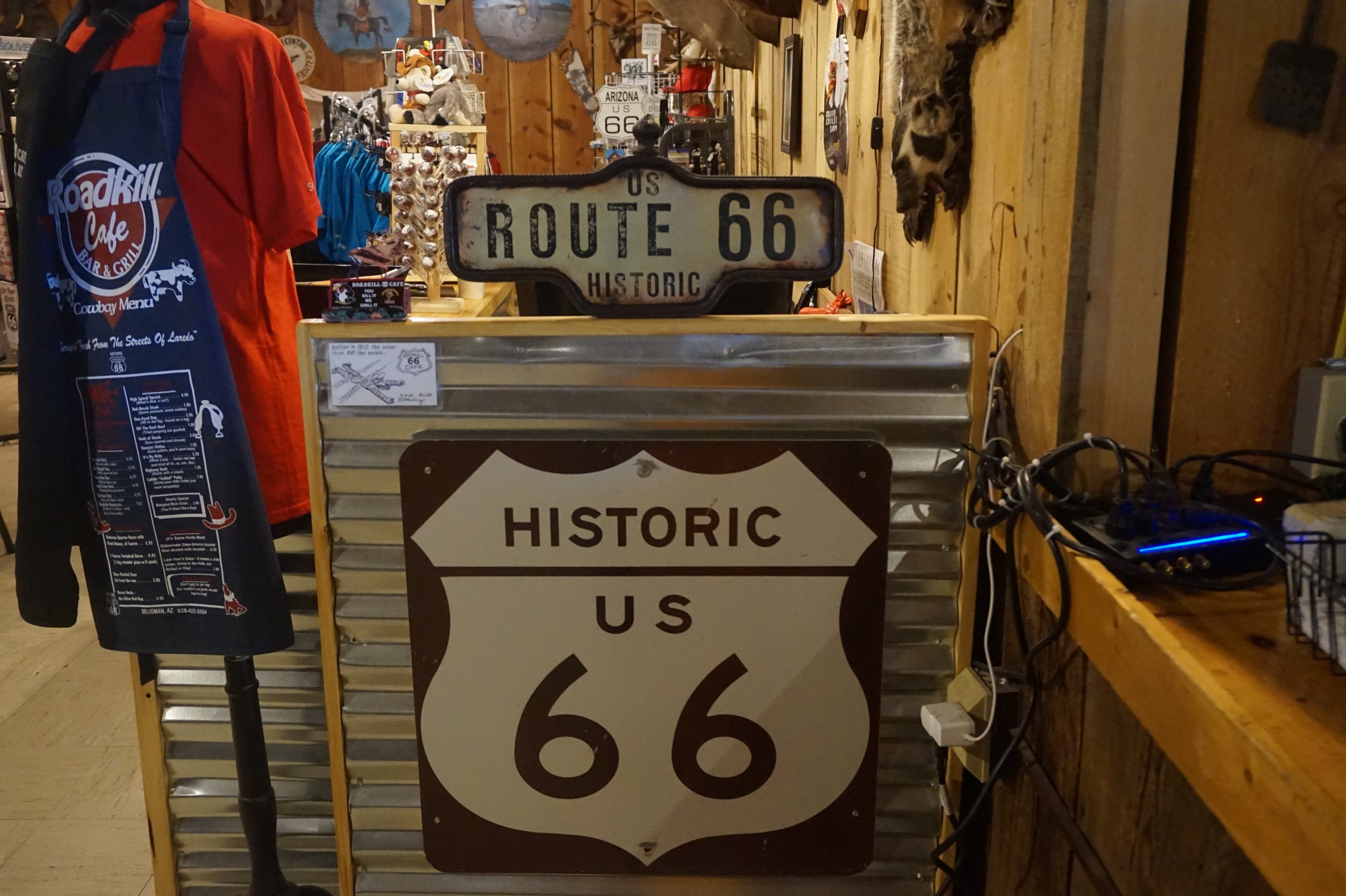
The oddly named Roadkill Cafe and OK Saloon is Route 66 quirkiness at its peak.
Despite what the menu items might lead you to believe, you can’t actually get an armadillo burger here.
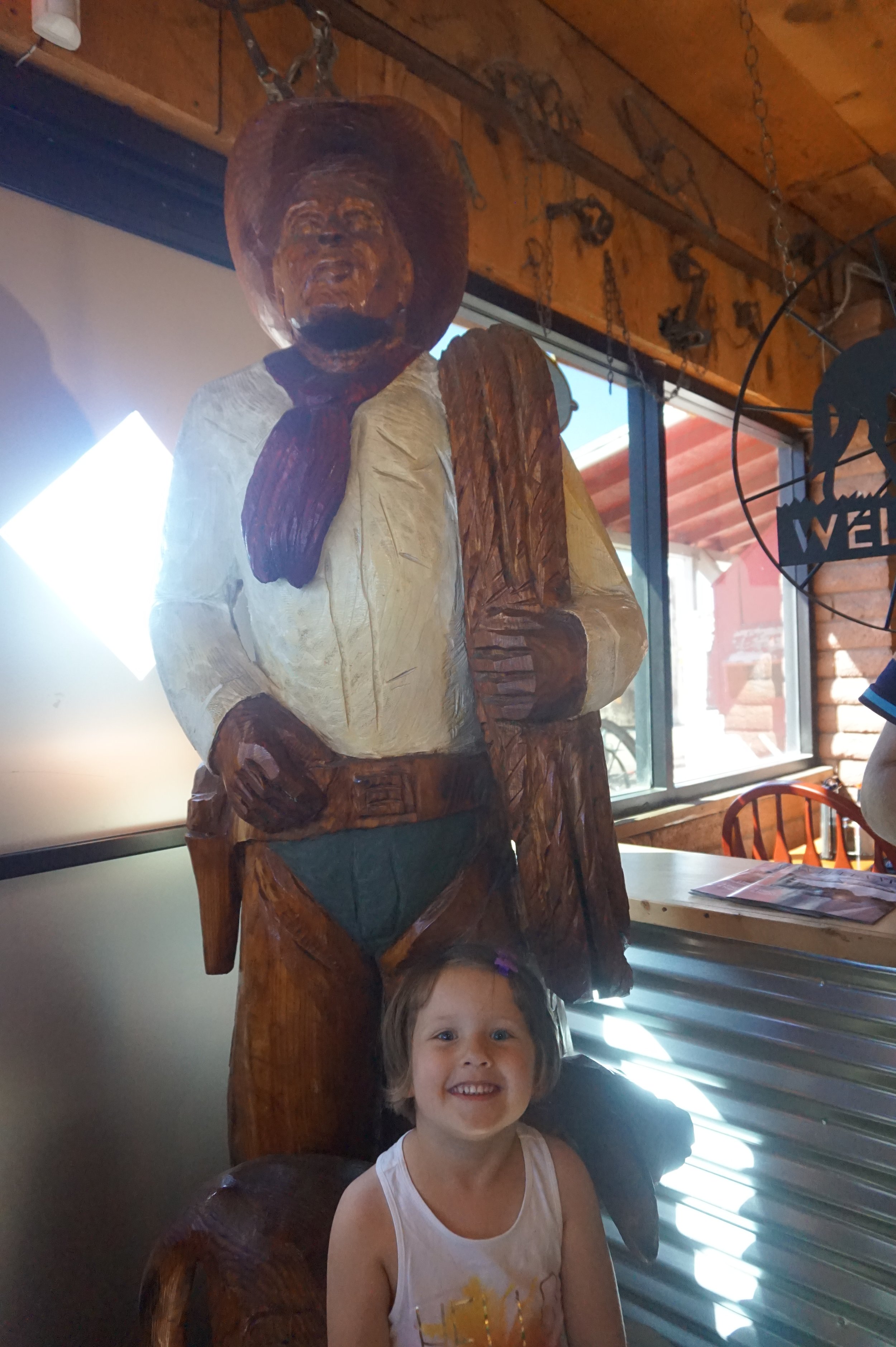
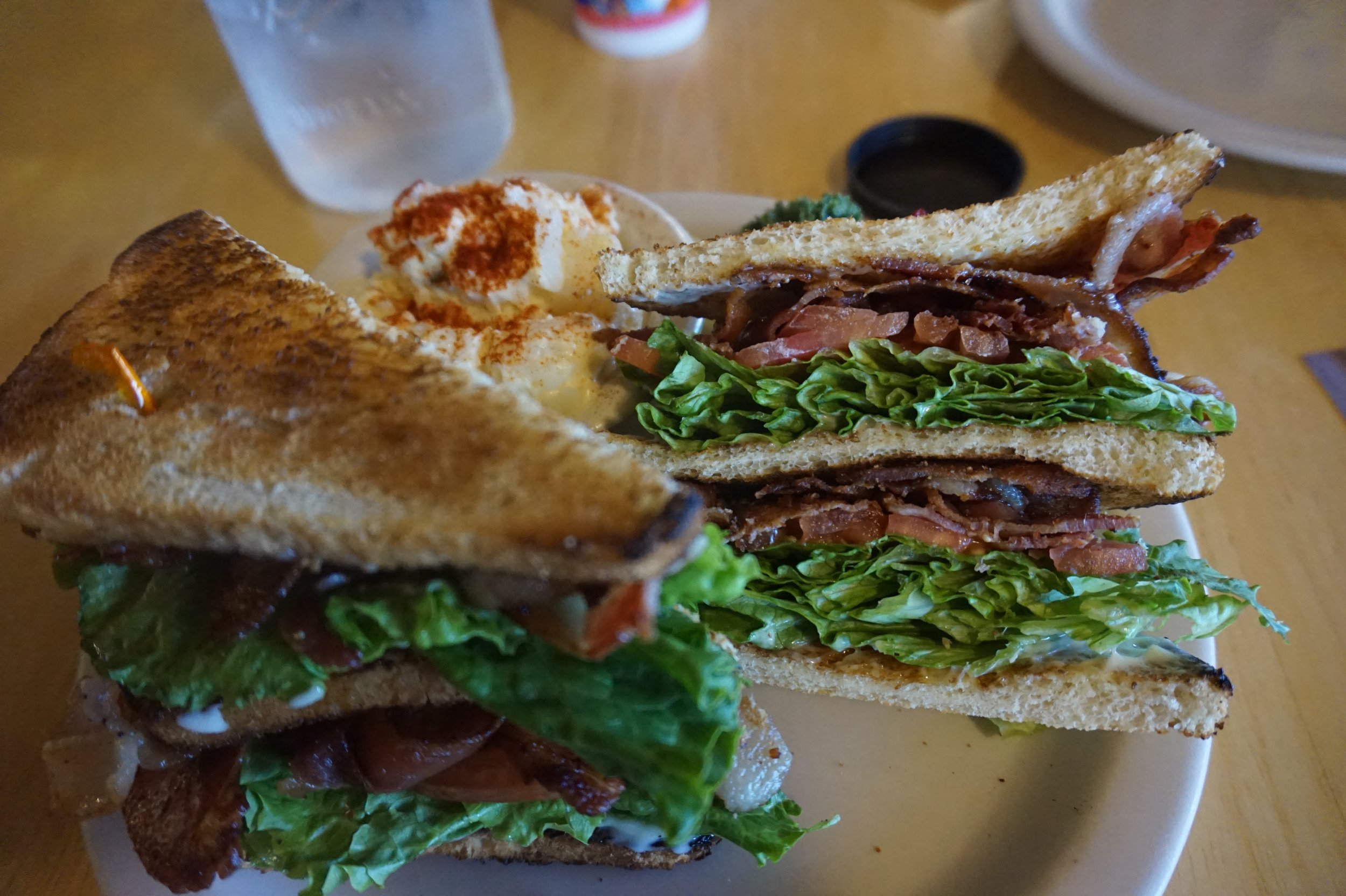
What you will find are fresh cooked diner meals—burgers, chicken fingers, fries, and the like—served up in restaurant where the food and the decor are equal draws.
After you’ve tucked in, browse the gift shop/museum in the back.
And don’t forget to get a few pictures outside at the faux Wild West town on the other side of the parking lot!
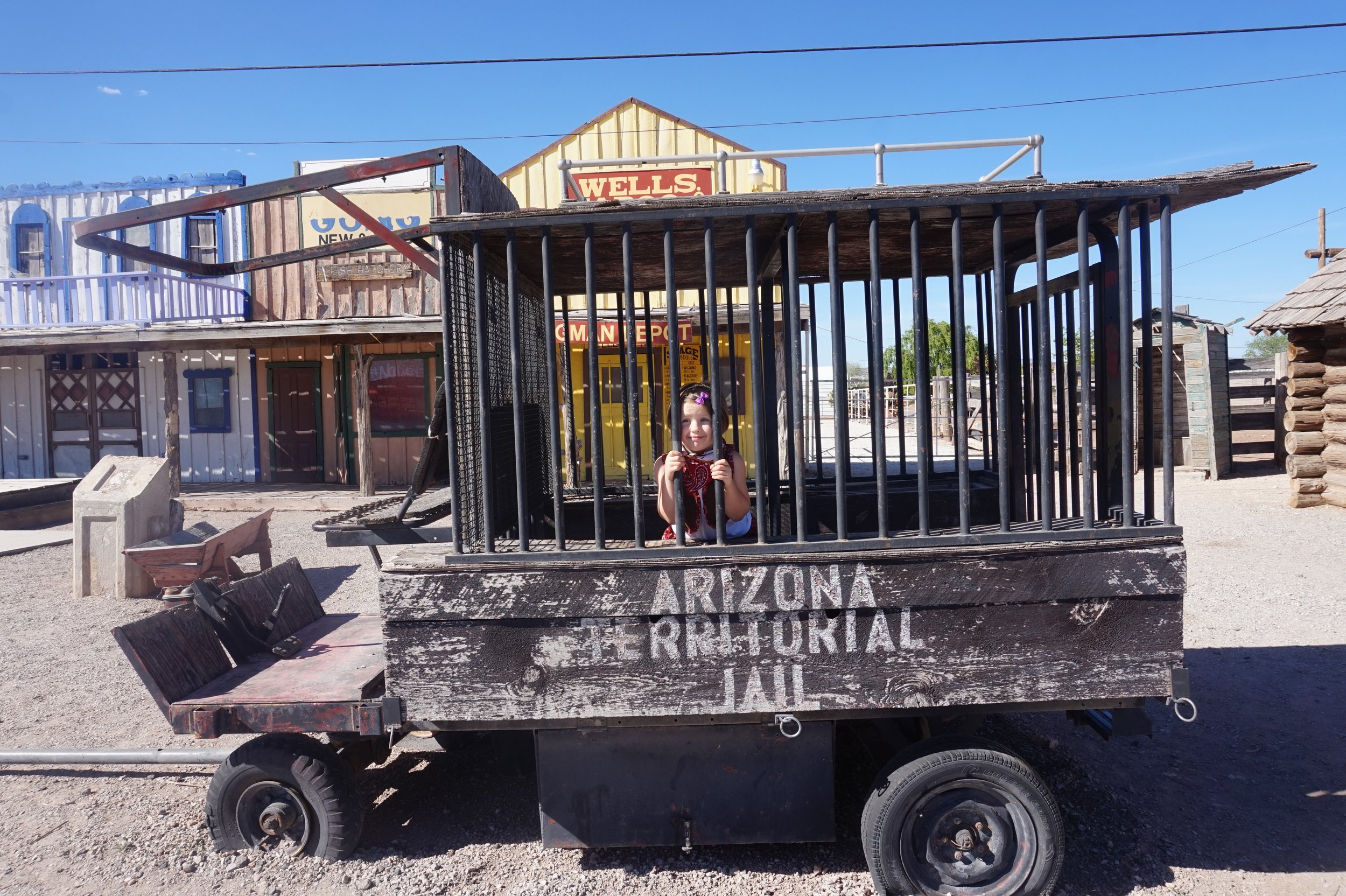
This little cowgirl is getting hauled off to jail!
Delgadillo’s Snow Cap
So many weird signs, so little time
About a block east from the Roadkill Cafe is the vintage Delgadillo’s Snow Cap, which offers dozens of milkshake flavors. (They also have burgers, fries, and other drive-in style food, but we have always gone straight for the desserts here!)

A Route 66 staple since the early 1950s, the employees still sling ice cream with a side of sarcasm. Don’t take too long to order, or the window attendant will poke fun of you!
The inside and outside of Delgadillo’s is covered in vintage signs, photos, postcards, and more. Linger a bit as you enjoy your shake.
As you continue west from Seligman towards Kingman, look for the Burma Shave signs that pepper the road side.
These are funny 4-part poems that always end in a Berma Shave shoutout. In addition to advertising this popular hair cream, the signs were also placed along Route 66 to keep drivers alert.
Stop 8: Kingman, AZ
Kingman is the largest town between Flagstaff and Las Vegas on this itinerary, so it’s a great place to stop for gas, groceries, or rest.
If you’re into the history of the Mother Road, you need to plan several hours here.
First, get a picture with the historic Route 66 sign! This is located on the eastern end of the downtown area on Route 66 (also known as Andy Devine Avenue in this section).
If you’d like another photo op, there’s another Route 66 sign in the parking lot to the Arizona Route 66 Museum, also on Andy Devine Avenue near Locomotive Park.
Both the museum and Locomotive Park are worth stops, too, especially if you’d like to learn more about the various forms of transportation that created Kingman and other Route 66 towns.
Once you’re ready to leave Kingman, you’ll want to head northwest on Highway 93, which will ultimately take you directly into Las Vegas through Henderson, Nevada.
But before we can make it to Las Vegas, we’ve still got some more exploring to do.
Along this highway, you’ll find several overlooks, and I encourage you to stop whenever one strikes your fancy.
This road trip is one where the topography changes constantly, and you’ll notice that this stretch of Highway 93 looks quite different than what you just left along Route 66.

On one of the overlooks heading from Kingman to Hoover Dam
The Crane’s Nest Wash Overpass is well marked with an easy, paved access point. It will be on your left about 5 miles south of the Hoover Dam.
Another great place to stop is the trailhead for the Spooky Canyon hike. This is an easy, flat trail that takes you into a slot canyon.
Stop 9: Hoover Dam
To maximize your experience of this area, I recommend downloading the GuideAlong tour for Las Vegas, Hoover Dam and Red Rock Canyon.
We’ve used these tours on many of our road trips, and I love that I can get a fully narrated tour for less than the cost of lunch for my family.
Plus, it doesn’t need wifi once it’s downloaded, and you can start and stop as many times as you need!
You’ll want to stop in the Hoover Dam Visitors Center and get tickets for the guided tour.
The Hoover Dam is an engineering marvel, and it’s worth a few hours of your time even if you’re not particularly interested in engineering history.
The scale of this project can only be appreciated by walking through the structure itself.
You can get another perspective of the Hoover Dam and the Colorado River with a guided rafting tour below the Hoover Dam. Great for all ages, this leisurely water-based tour lets you see the ways that the dam changed the river’s flow and ecosystem forever.
Final Stop: Las Vegas!

We made it!
Your road trip is over, but the fun doesn’t have to end here.
Las Vegas is well worth a day or two of your time at the end of your trip: see the Bellagio fountains, go shopping along the Strip, and take in a show at the Sphere.
I hope that your family enjoyed this road trip as much as we have.
Happy travels!
Interested in other Southwestern adventures?